1. What is NDEM?
NDEM stands for National Database for Emergency Management123.
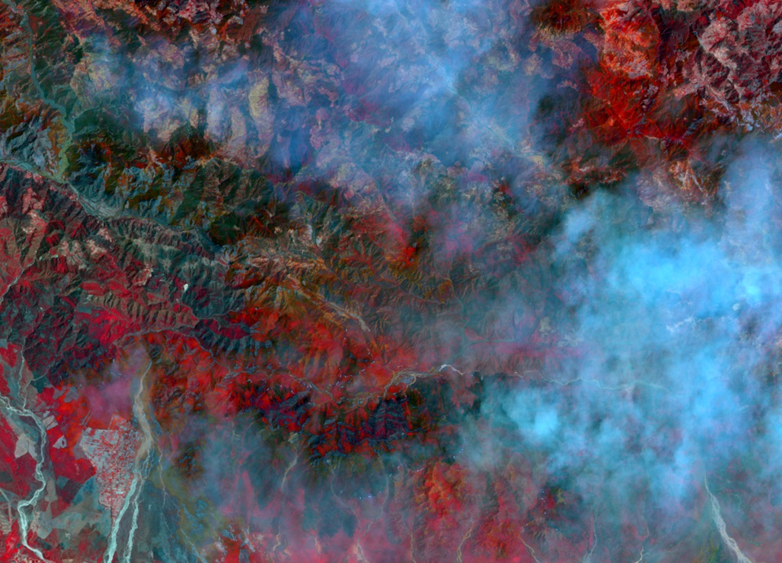
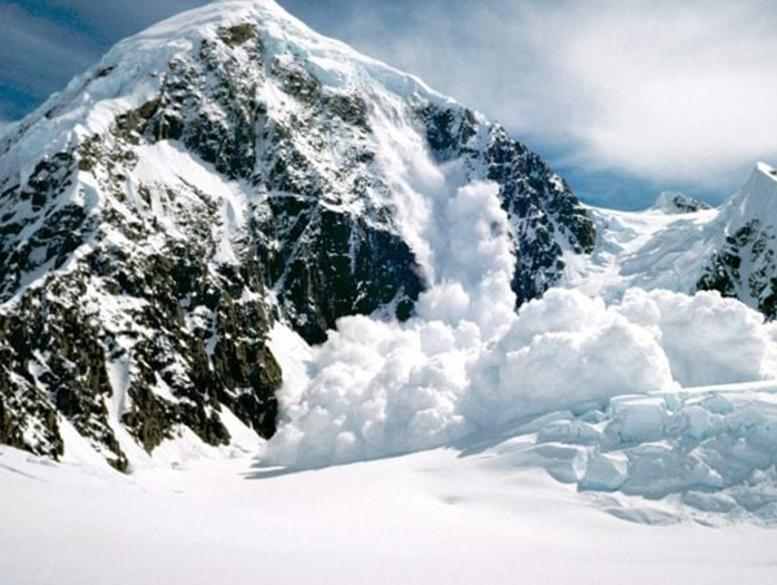
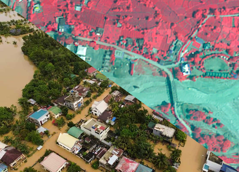
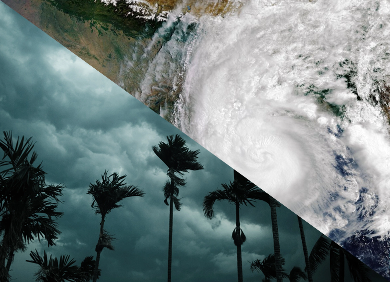
Government of India has envisaged a policy to build a safer and disaster resilient India by developing a holistic, integrated proactive multi disaster and technology driven strategy for disaster management through collective efforts of all government agencies and non-government organisations. Accordingly, Ministry of Home Affairs (MHA) has translated this approach into National Database for Emergency Management123 (NDEM) for taking up ameliorative measures for providing timely information and decision making in the event of disasters. National Remote Sensing Centre (NRSC), Indian Space Research Organisation (ISRO) is the lead agency to implement and operationalize NDEM project. NDEM essentially serves as national repository of GIS based data for entire country coupled with set of Decision Support System tools to assist the disaster managers in decision making during emergency situations.
2. What is the current version of NDEM?
Current version for NDEM is version 4.1.
3. Who are the users of NDEM?
NDEM services can be used by Ministry of Home Affairs, National Remote Sensing Centre and NDEM Administrator, all state and district officials.
4. Can public access NDEM?
Yes, public users can access NDEM home page only. At home page, users can see disaster dashboard and disaster event card.
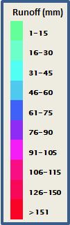
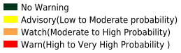
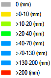
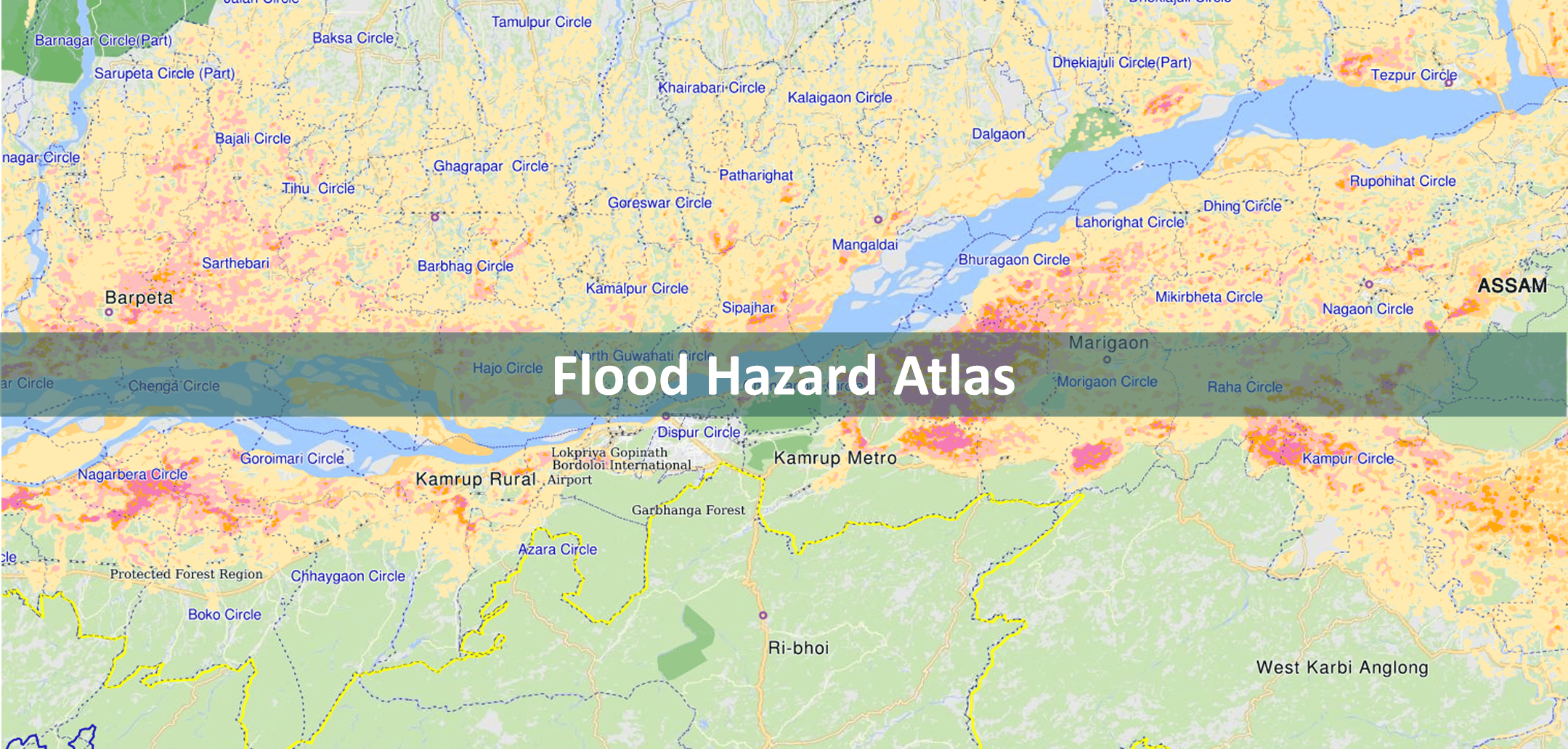
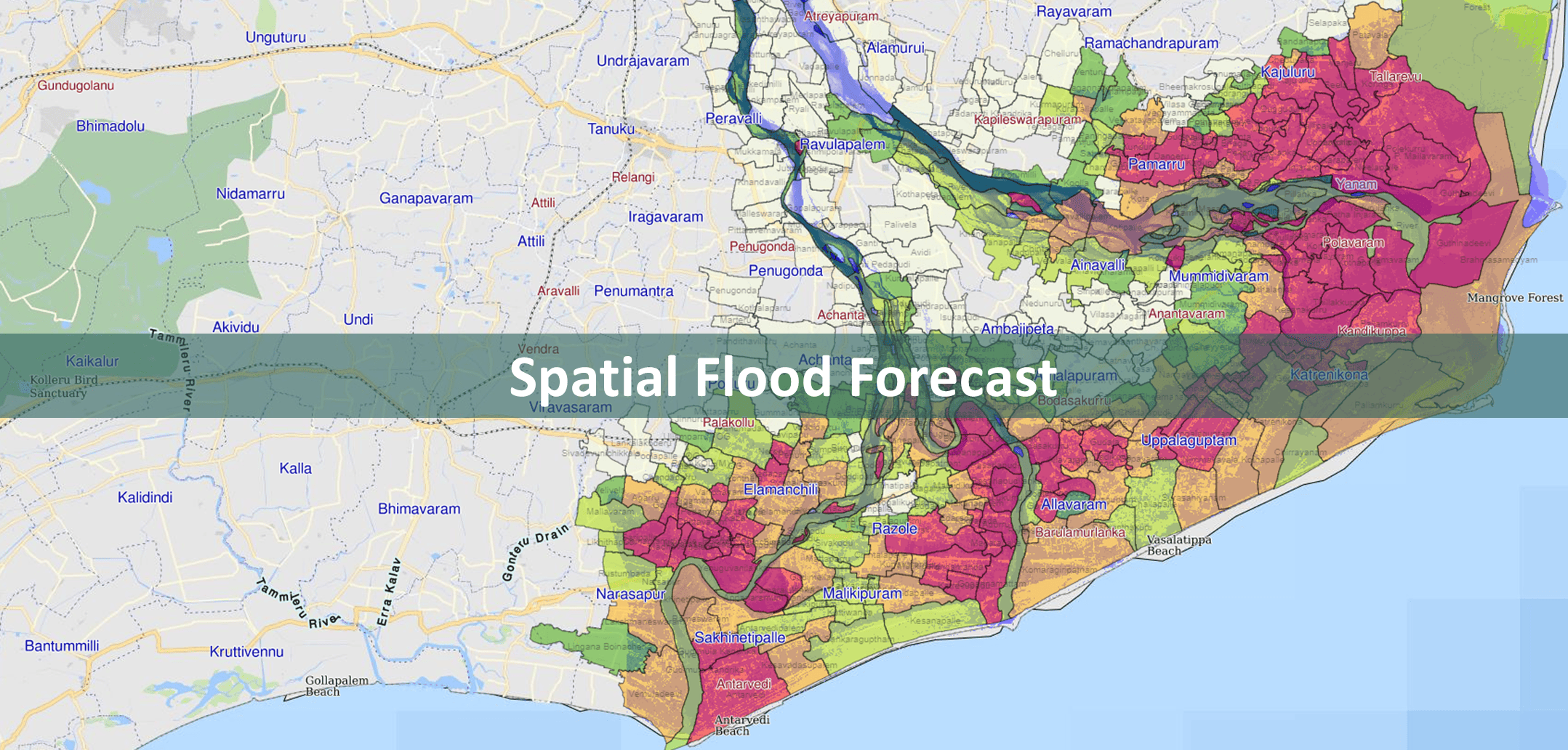
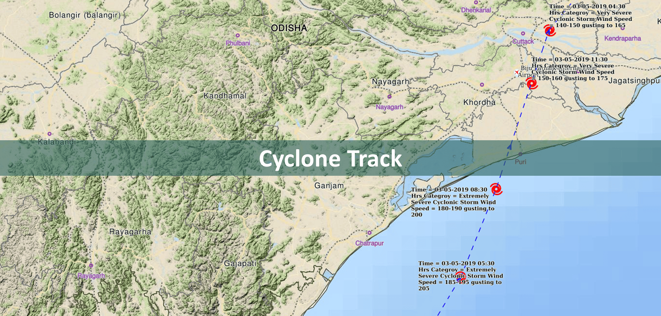
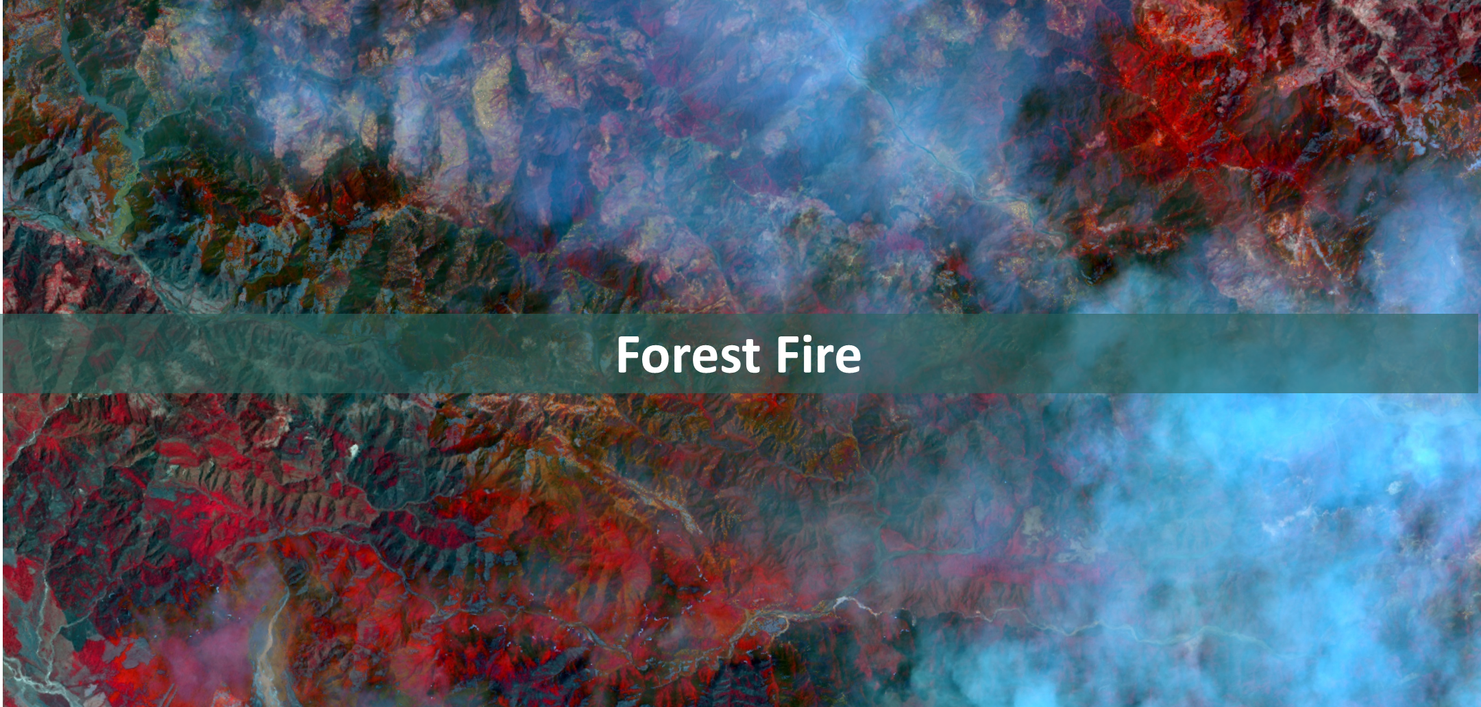
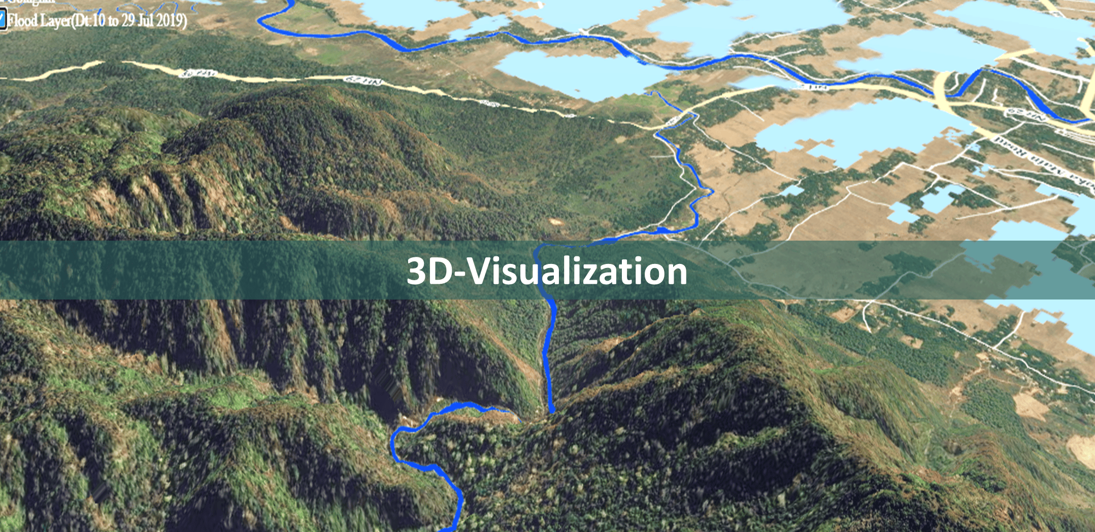
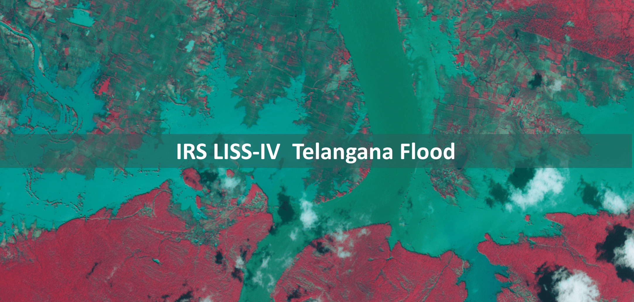
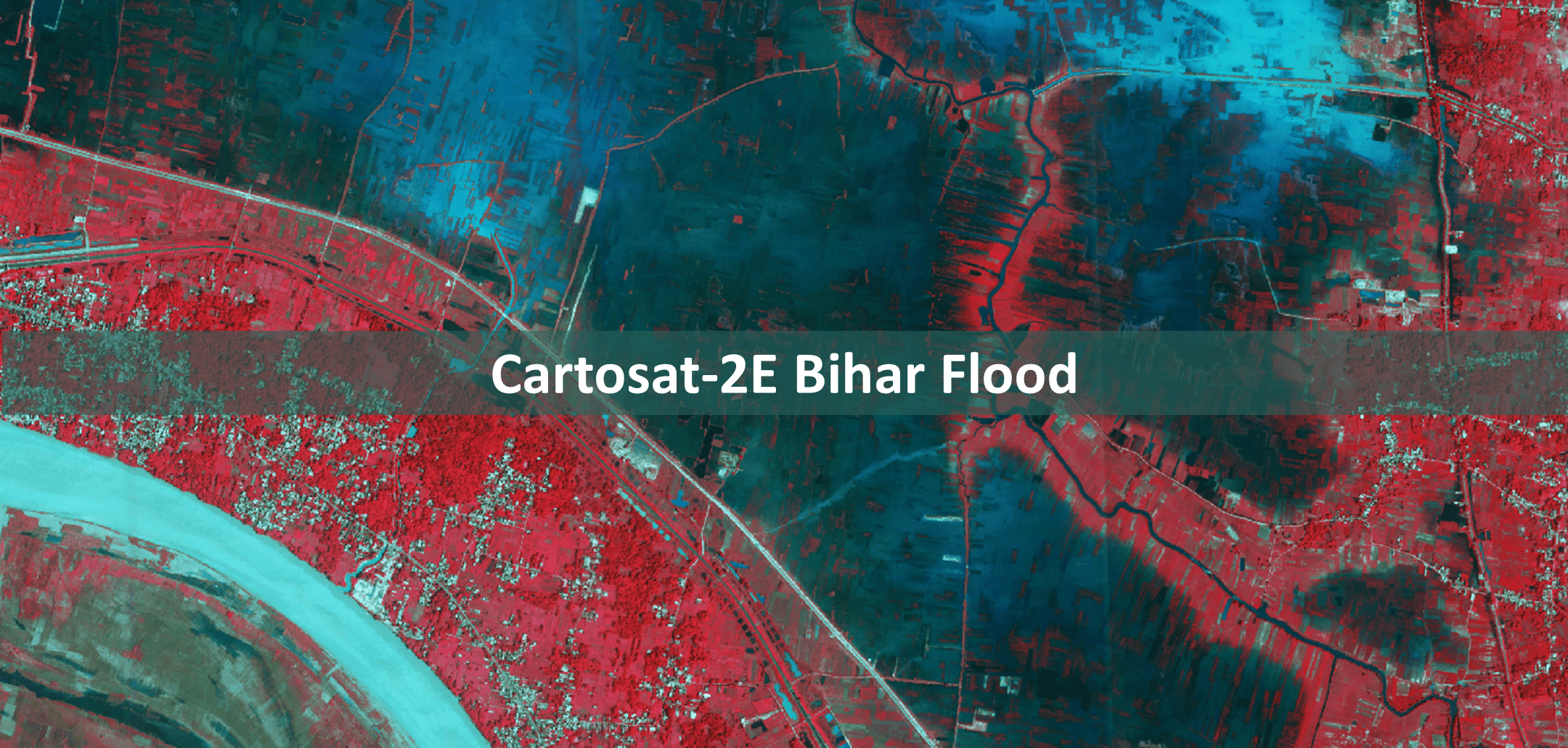
5. What types of services are providing by NDEM?
NDEM provides meteorological services, forecast, warnings and alerts through its disaster dashboard. And an authorized user can access base map data, disaster specific products, DSS tools and Communication tools etc.
6. How to get user credentials for using NDEM services?
If users want to get user credential for using NDEM services, follow below steps:
- Download the user authorization form
- Fill it and duly signed by competent authority (not below the rank of the Secretary, DM/Commissioner) and send it through mail at: ndem_admin[at]nrsc[dot]gov[dot]in
7. Where can I get brochure / flyer / user manual?
For downloading NDEM brochure / flyer / user manual, click on PDF icon
- Brochure
- User Manual
8. How to download NDEM mobile applications?
NDEM mobile applications are available at only NDEM portal. It can be downloaded by clicking on below links. Currently, it is available only for Android 5.0 or higher devices.
-
 NDEM Mobile
-
 Relief Management
9. How to contact NDEM?
Users can contact NDEM using mail or phone.
Location: National Remote Sensing Centre, Indian Space Research Organisation, Dept. of Space, Govt. of India, Balanagar, Hyderabad, India
Email: ndem_admin[at]nrsc[dot]gov[dot]in
Call: 0854222-5414 / 12
10. How to give feedback?
Open NDEM portal into any browser and go to the bottom section. User can see one feedback form. Fill this form and submit it. Your valuable feedback will be received.


 Weather Station